
Santa Gertrudis Copó
215 properties for sale and rent.
Photo: Inri / Wikimedia Commons, CC0

Prices in Santa Gertrudis Copó
For sale
- Median price
- $5,684,488 MXN
- Median price / m²
- $44,207 MXN/m²
- Listings here
- 192
- With a published price
- 192
- Apartment: 121 · median $5,450,000 MXN
- House: 46 · median $6,612,500 MXN
- Land: 16 · median $3,853,574 MXN
- Office: 7
- Condominium: 2
For rent
- Median rent
- $20,000 MXN
- Median price / m²
- $167 MXN/m²
- Listings here
- 23
- With a published price
- 23
- Apartment: 11
- House: 8
- Office: 2
- Condominium: 1
- Land: 1
About
Santa Gertrudis Copó is a sub-comisaría of Mérida municipality about 8 km from the city centre, on the north side. It grew up around a henequen hacienda of the same name; the historic barrio had 146 residents in 1900 and 665 in 2010, figures for the original settlement rather than today's built-up zone. Broker material from Zaguán (sua.mx) places the hospitals El Faro and Star Médica (private) and the public Hospital Regional de Alta Especialidad about 10 minutes away by car and the airport about 30 minutes via the Periférico; those are the broker's times, not independent measurements. In July 2026 Diario de Yucatán reported a proposed commercial plaza on Calle 9-A going through environmental consultation.
A bit of history
The name Copó comes from Maya and refers to the Ficus cotinifolia tree, which Spanish settlers first confused with European poplars. The henequen hacienda of the same name belonged in 1796 to Francisco del Pino y Sosa, a Mérida merchant, and by 1853 to José Policarpo Molina, from a landowning family of Bolonchenticul, Campeche. The division of his estate was delayed until 1870, just as the henequen boom began. In 1937 the hacienda became an ejido under Lázaro Cárdenas's agrarian reform, though the main house stayed in private hands.
Ratings
How we rate
Percentile rank among comparable zones (same amenity radius, or the same municipio set for security and price growth). score = 1 + floor(percentile / 20), capped at 5.
Nearby amenities
Within 2.0 km.
- Schools
- 11 (7 private / 4 public)
- Universities
- 1
- Hospitals
- 4
- Clinics
- 212
- Pharmacies
- 11
- Supermarkets
- 3
- Convenience stores
- 14
- Banks
- 7
- Restaurants
- 145
- Gyms
- 19
Nearest hospital: HOSPITAL FARO DEL MAYAB S.A.P.I. DE C.V. (0.6 km).
Map
- Schools
- Hospitals
- Clinics
- Pharmacies
- Supermarkets
Security
"Intentional homicides per 100,000 residents" counts the criminal cases the municipality's prosecutor's office opened for intentional homicide that year, scaled to a base of 100,000 residents so places of different sizes can be compared.
Mérida: 1.3 per 100,000 in 2025; Yucatan average: 1.4; peninsula average: 6.9.
Municipal reported-case figures (SESNSP), not victim counts and not specific to this neighbourhood or zone.
Growth and prices
Demographics
INEGI, Population and Housing Census 2020 (ITER)
| Indicator | Mérida municipality | Yucatán state |
|---|---|---|
| Population aged 0 to 14 | 20.1% | 23.8% |
| Population aged 15 to 64 | 70.2% | 67.5% |
| Population aged 65 and over | 9.7% | 8.7% |
| Average people per household | 3.3 | 3.5 |
| Occupied private dwellings | 303,783 | 658,085 |
| Average schooling, ages 15 and over (years) | 11.4 | 9.6 |
| Economically active population, ages 12 and over | 63.2% | 61.7% |
| Dwellings with internet | 76.3% | 53.6% |
INEGI, Population and Housing Census 2020 (ITER), at locality level. Age shares are of the population whose age was stated. A figure is missing where INEGI withholds it for a very small place.
Planned projects
-
Commercial plaza on Calle 9-A
A commercial plaza proposed by developer Ikal Tulum on a 5,000.31 m² lot on Calle 9-A, between Calles 2 and 2-Bis, with 21 commercial units (1,694.11 m²), parking (1,761.01 m²), circulation areas (545.60 m²) and permeable green space (1,461.34 m²). The Secretaría de Desarrollo Sustentable opened a five-day public consultation on the environmental impact authorization (file 090/2026) starting July 2, 2026.
-
Aantik (mixed-use towers)
A six-tower mixed-use development in Santa Gertrudis Copó that, per an Inmobiliaria BCI sales listing, combines residential units, commercial space, a hotel and medical offices, designed by Sordo Madaleno Arquitectos with architecture described as inspired by Maya cultural elements. The only source is sales material; build status and dates are not independently confirmed.
Sources
- INEGI DENUE — 05/2026
- CLUES - Catalogo de Establecimientos de Salud — 2026-07
- SESNSP Incidencia Delictiva del Fuero Comun Municipal — 2023-2025
- INEGI Censo de Poblacion y Vivienda 2020 (ITER) — 2020
- INEGI Encuesta Intercensal 2025 — 2025
- INEGI ENSU — junio 2026
- SHF Indice de Precios de la Vivienda — 2T 2026
- Wikipedia (Spanish) — n.d.
- K'AJLAY (local history site) — n.d.
- Developer marketing — Zaguán (Sua.mx blog) — n.d.
- Diario de Yucatán — 2026-07-03
- Developer marketing — real estate listing (Inmobiliaria BCI) for the Aantik development — n.d.
-
-
-
-
-
-
-
-
-
-
-
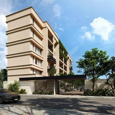
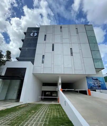
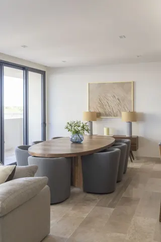
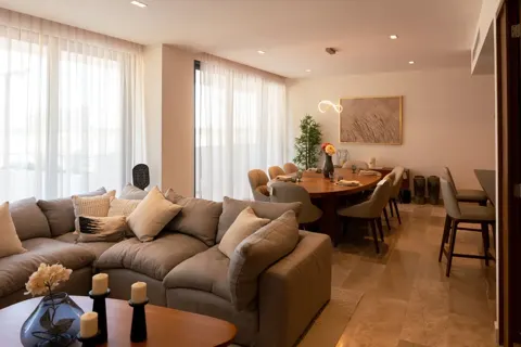
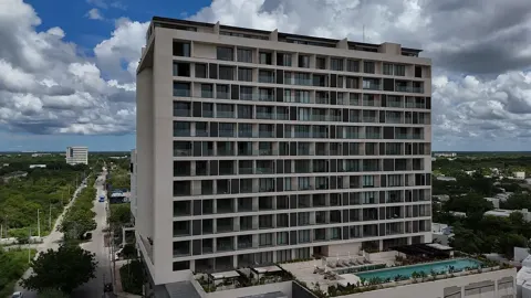
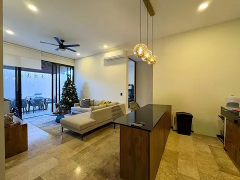
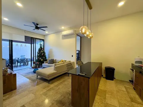
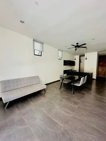
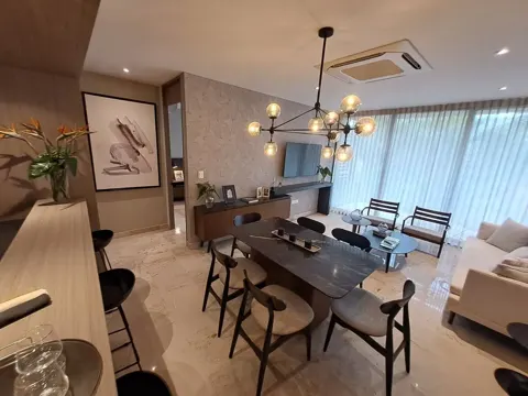
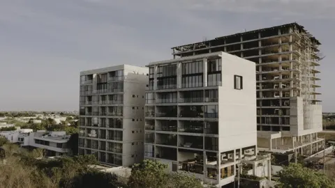 Departamento venta Mérida 3 habitaciones, exclusiva ubicación, nte 21, estrena
Mérida
$10,151,382 MXN
-
-
-
-
-
-
-
-
-
-
-
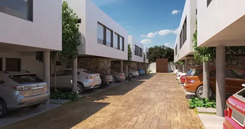
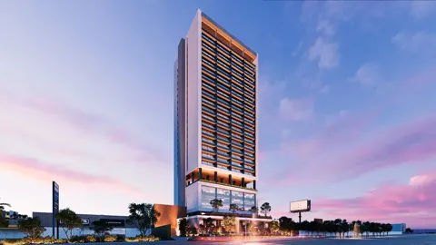
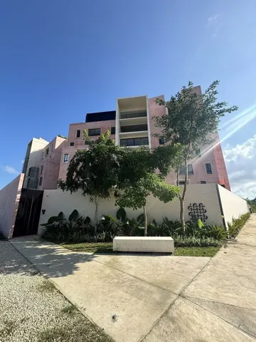
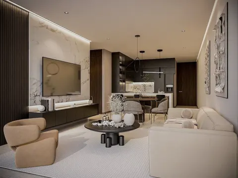 Departamentos de 3 recámaras en preventa en Santa Gertrudis Copó| TORRE INSIGNIA
Mérida
$6,490,000 MXN
-
-
Common questions about Santa Gertrudis Copó
How much does it cost to buy in Santa Gertrudis Copó?
The median asking price to buy in Santa Gertrudis Copó is $5,684,488 MXN, about $44,207/m², across 192 properties for sale listed on ViveMapa.
What kind of property is most common for sale in Santa Gertrudis Copó?
The most common type for sale in Santa Gertrudis Copó is apartment: 121 of 192 listings. Use the type filter to see only houses, apartments or land.
What is the cheapest kind of property for sale in Santa Gertrudis Copó?
Among houses, apartments and land, land has the lowest median price for sale in Santa Gertrudis Copó: $3,853,574 MXN.
How much does it cost to rent in Santa Gertrudis Copó?
The median asking rent in Santa Gertrudis Copó is $20,000 MXN, about $167/m², across 23 properties for rent listed on ViveMapa.
What kind of property is most common for rent in Santa Gertrudis Copó?
The most common type for rent in Santa Gertrudis Copó is apartment: 11 of 23 listings. Use the type filter to see only houses, apartments or land.
Are there schools and healthcare near Santa Gertrudis Copó?
According to INEGI's DENUE business directory, within 2 km of Santa Gertrudis Copó there are 11 schools and 216 clinics and hospitals.
How do I ask about a listing on ViveMapa?
Write to us from the listing. We confirm availability and price and reply by email; your contact details are never published.